As you may know, I recently moved to Bali. One thing that has taken me a while to understand is how postal addresses work here in Indonesia. Here’s an example:
Villa Madalena
Jl. Pantai Batu Bolong No.44
Canggu, Kuta Utara, Kabupaten Badung, Bali 80351
Indonesia
After a bit of research, I now understand what each part of this address means. Starting from the top:
- Villa Madalena: This is the name of the villa (as seen on Airbnb). When navigating the streets here locally, often the name of the landmark/hotel/restaurant is sufficient to get directions.
- Jl. Pantai Batu Bolong No.44: This is the street name and number. “Jl.” is short for “jalan”, which is means “street” in Indonesian. “Pantai Batu Bolong” translates into roughly “beach of stones” or “rocky beach”. (I’ve also seen it translated as “beach of the pierced or hollow rock”.)
- Canggu, Kuta Utara, Kabupaten Badung, Bali 80351: This is the juicy part. Starting at the end:
- 80351 indicates our current region and city based on Indonesia’s postal code system. Although I’ve included it here, postal codes don’t appear to be widely used – when businesses or hotels provide their address, they often don’t include it.
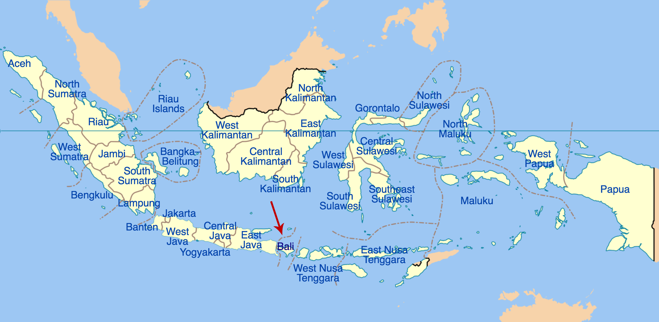
- Bali is one of Indonesia’s 34 “provinsi“ (“provinces”):
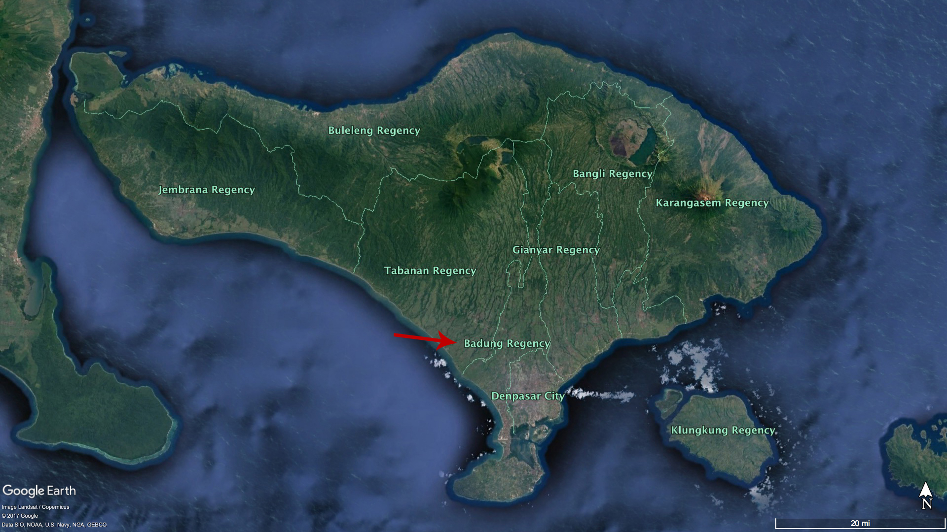
- Kabupaten Badung is one of Bali’s nine “kabupaten” (“regencies”):
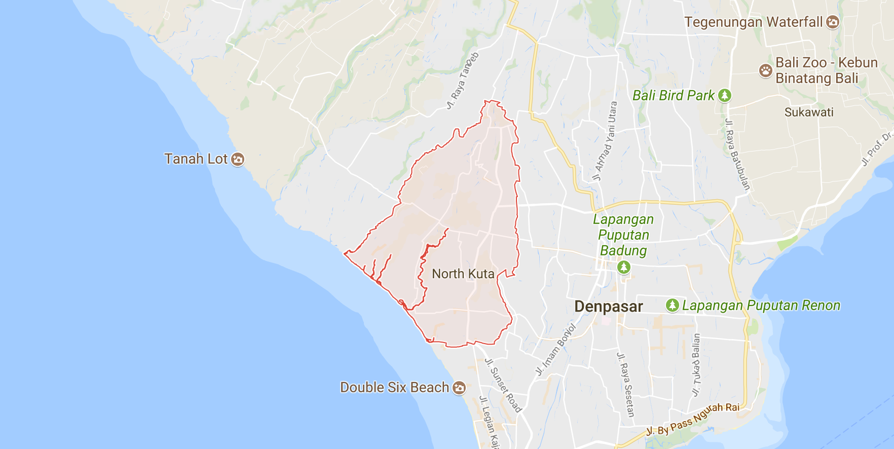
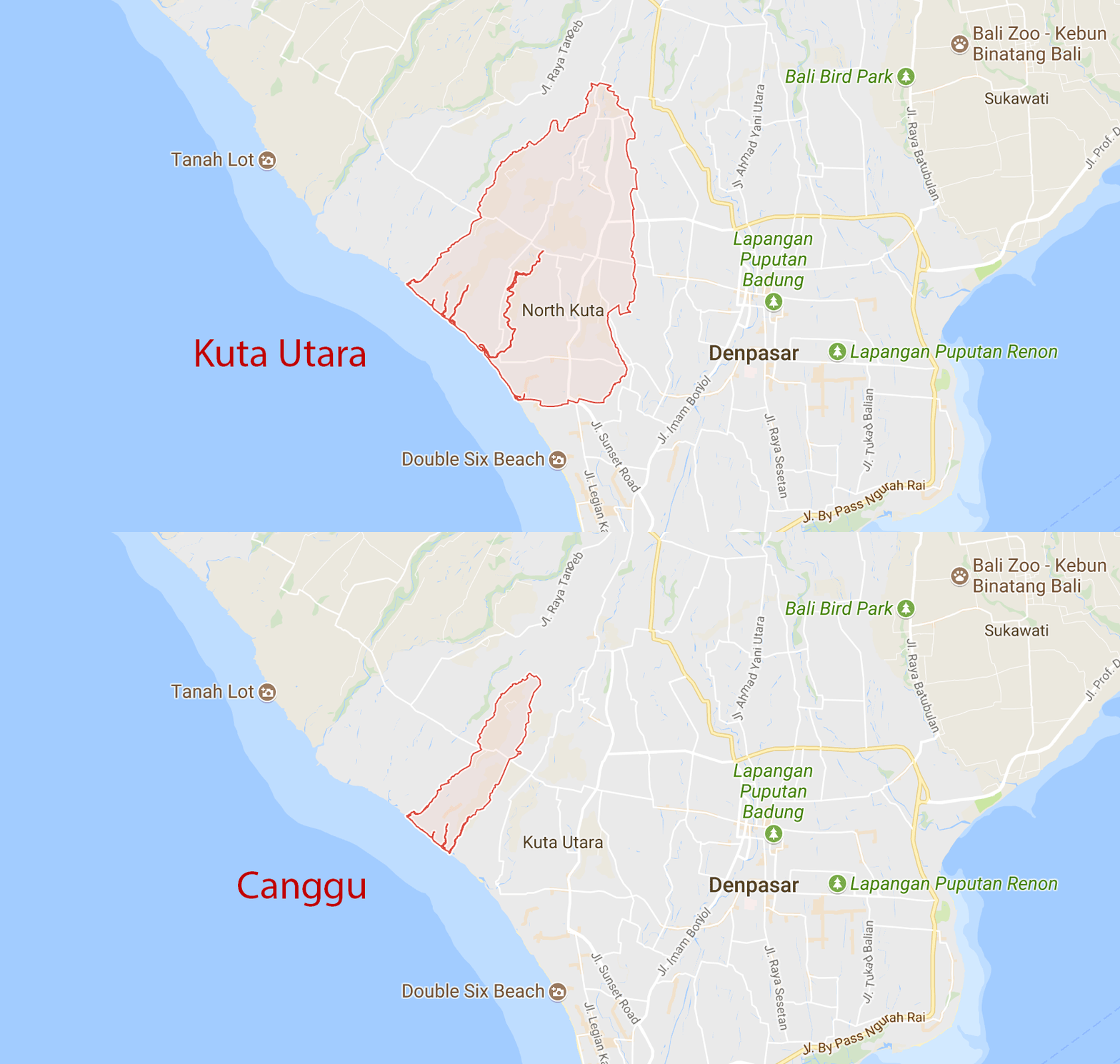
- Kuta Utara (“north Kuta”) is one of the six “kecamatan” (“districts”) within Badung Regency:
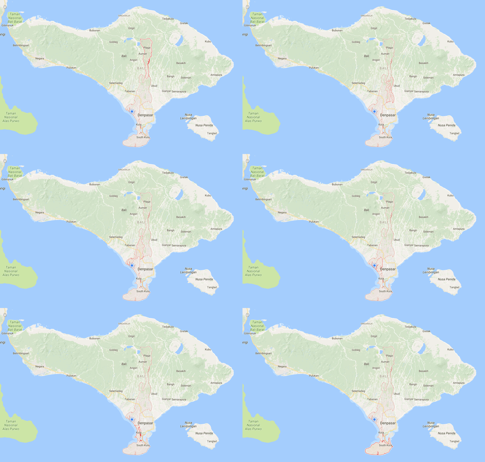
 Here’s an animation showing all six of Badung’s districts in succession:
- Last is Canggu, our “desa” (“village”) within Kuta Utara:
And that’s that! It’s worth noting that the above example is somewhat of an ideal case. For example, many places don’t have street numbers:

Or give their address relative to a major landmark:

Postal addresses aside, I’ve found it relatively straightforward to navigate around Bali. There’s generally only one way to get where you need to go, and locals (and tourists alike) are usually glad to give directions.
Well explained.
Very helpful, thank you!